Our Portfolio
Explore our successful projects and case studies
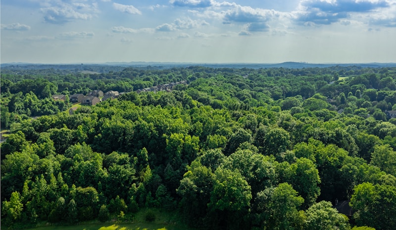
Forest Watch: Real-Time Deforestation Monitoring Dashboard
A real-time web dashboard that tracks forest cover change and flags deforestation hotspots as new satellite data arrives, replacing periodic manual review with continuous, automated monitoring.
Read case study →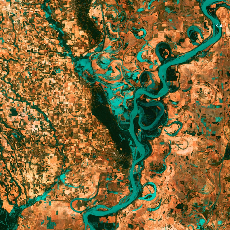
Land Use/Land Cover Mapping with Google Earth Engine
Large-scale Land Use/Land Cover classification built on Google Earth Engine, turning raw satellite imagery into actionable land-cover maps for environmental monitoring at regional scale.
Read case study →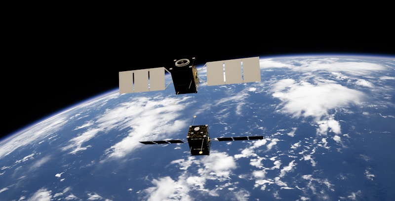
Geo-Forensics: Satellite Imagery Analysis for Policy Support
Geo-forensics analysis combining satellite imagery timelines with GIS overlays to give policymakers verifiable, ground-truthed spatial evidence rather than secondhand reports.
Read case study →
Eco Health Monitoring: Environmental Reporting Website
A public-facing environmental reporting website built for a European diplomatic mission, turning environmental health data management into an accessible, transparent public resource.
Read case study →
GPON Network Planning & Optimization Using GIS
GIS-driven planning and optimization for a province-wide Gigabit Passive Optical Network rollout, migrating thousands of households from legacy broadband to fiber.
Read case study →