Eco Health Monitoring: Environmental Reporting Website
A public-facing environmental reporting website built for a European diplomatic mission, turning environmental health data management into an accessible, transparent public resource.
Client: European Diplomatic Mission (Confidential)
01 Overview
Environmental health data only creates public value if people outside the team that collected it can actually access and understand it. We built the Eco Health Monitoring website to take environmental data that had been managed internally and turn it into a structured, publicly accessible reporting platform for a European diplomatic mission's environmental program.
The build covered both sides of the problem: a data management layer for structuring and maintaining environmental records, and a public-facing website that presents that data in a way non-specialists can actually use - clear reporting views rather than raw data dumps. The emphasis throughout was on transparency: making it straightforward for the public to see what environmental data was being tracked and what it showed, without needing to request it directly.
Because it was built for a diplomatic/public-sector audience, reliability and clarity mattered more than visual flourish - the site needed to present accurately, consistently, and be maintainable by the team after handoff.
02 The Challenge
Environmental health data was being collected and managed, but had no public-facing outlet - stakeholders and the public had no straightforward way to see what was being tracked or what it showed without directly requesting it.
03 Our Solution
We built a data management system for structuring and maintaining environmental records, paired with a public reporting website that presents the data through clear, non-technical views designed for transparency rather than raw data access.
04 Results & Impact
Project Details
- Category
- GIS & Geospatial
- Client
- European Diplomatic Mission (Confidential)
Technologies Used
Related Projects
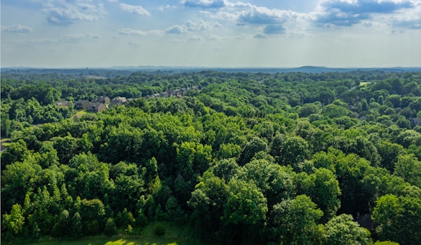
Forest Watch: Real-Time Deforestation Monitoring Dashboard
A real-time web dashboard that tracks forest cover change and flags deforestation hotspots as new satellite data arrives, replacing periodic manual review with continuous, automated monitoring.
Read case study →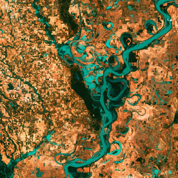
Land Use/Land Cover Mapping with Google Earth Engine
Large-scale Land Use/Land Cover classification built on Google Earth Engine, turning raw satellite imagery into actionable land-cover maps for environmental monitoring at regional scale.
Read case study →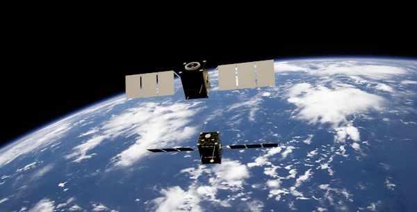
Geo-Forensics: Satellite Imagery Analysis for Policy Support
Geo-forensics analysis combining satellite imagery timelines with GIS overlays to give policymakers verifiable, ground-truthed spatial evidence rather than secondhand reports.
Read case study →