Geo-Forensics: Satellite Imagery Analysis for Policy Support
Geo-forensics analysis combining satellite imagery timelines with GIS overlays to give policymakers verifiable, ground-truthed spatial evidence rather than secondhand reports.
Client: Government Policy Agency (Confidential)
01 Overview
Policy decisions that hinge on what's physically happening on the ground - illegal construction, land encroachment, resource extraction - are only as good as the evidence behind them. We worked on geo-forensics analysis that integrates satellite imagery with GIS data to build a verifiable, time-stamped record of ground conditions, giving policymakers spatial evidence they could check directly rather than relying on secondhand field reports.
The work involved pulling historical and current satellite imagery for areas under review, aligning it against cadastral and administrative GIS layers, and constructing a timeline showing exactly when specific changes occurred. Overlaying imagery against official boundary and zoning data made it possible to answer concrete questions - was this structure present before the relevant regulation took effect, did this land-use change fall inside a protected boundary - with dated visual evidence rather than assertion.
This kind of analysis only works if the evidence is defensible, so a consistent, repeatable methodology mattered as much as the specific findings: the same approach needed to hold up whether it was applied to one parcel or a province-wide review.
02 The Challenge
Policy and investigative decisions were often being made on the basis of field reports that were difficult to independently verify, with no consistent way to establish exactly when a change on the ground had occurred relative to a given regulation or boundary.
03 Our Solution
We built a repeatable geo-forensics methodology: pulling historical and current satellite imagery for the area under review, aligning it against cadastral and administrative GIS layers, and constructing a dated timeline of change that could be checked against specific regulatory or boundary questions.
04 Results & Impact
Project Details
- Category
- GIS & Geospatial
- Client
- Government Policy Agency (Confidential)
Technologies Used
Related Projects
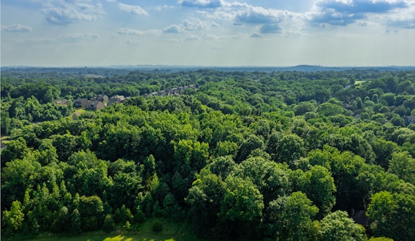
Forest Watch: Real-Time Deforestation Monitoring Dashboard
A real-time web dashboard that tracks forest cover change and flags deforestation hotspots as new satellite data arrives, replacing periodic manual review with continuous, automated monitoring.
Read case study →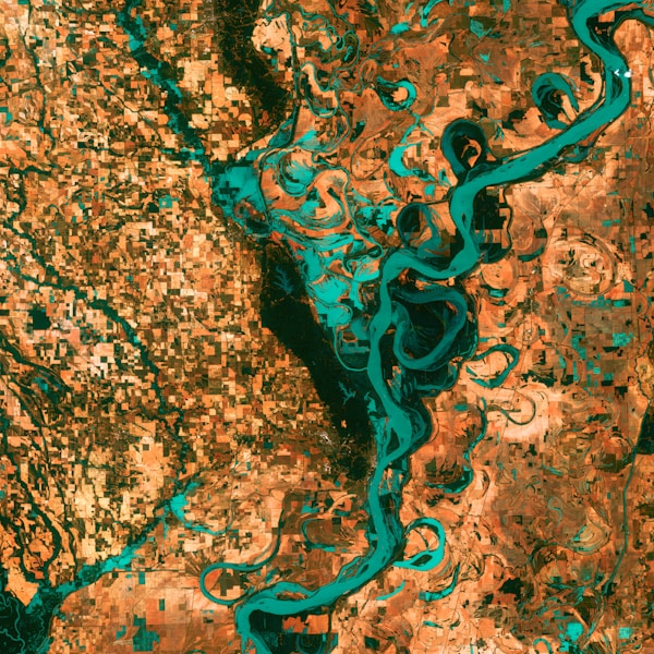
Land Use/Land Cover Mapping with Google Earth Engine
Large-scale Land Use/Land Cover classification built on Google Earth Engine, turning raw satellite imagery into actionable land-cover maps for environmental monitoring at regional scale.
Read case study →
Eco Health Monitoring: Environmental Reporting Website
A public-facing environmental reporting website built for a European diplomatic mission, turning environmental health data management into an accessible, transparent public resource.
Read case study →